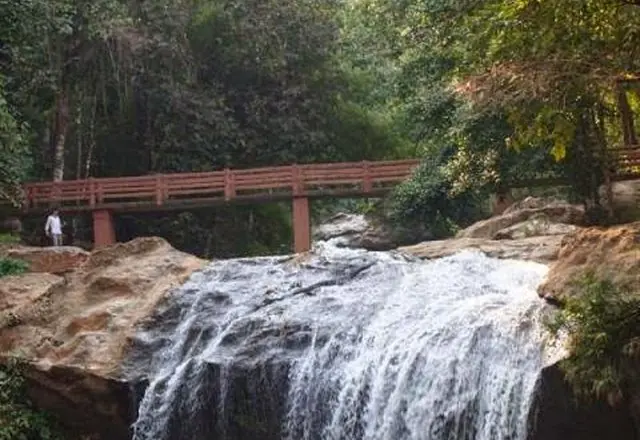
Doi Inthanon, top to bottom
Listed by the Ministry as “Following love, roots of the city” — named after the television drama Rak Nakhara, filmed in the north
The mountain in one day: the summit, the ridge trail, and the two big waterfalls on the way back down.
This is one of the Ministry of Tourism & Sports' own suggested routes for Chiang Mai. The places are theirs; the order and the distances are ours, because the Ministry files a route as a set of places rather than a sequence and driving it in the order given would take you back and forth across the province. We put the stops in the order you would actually drive them and measured the result.
The route
In the order you would drive it, with the leg between each.
- 1
Wachirathan Waterfall
One drop of about seventy metres, fed by the Mae Klang stream from the top of Doi Inthanon. The volume is heavy enough that the spray reaches the viewing platform and hangs a rainbow across it in the afternoon.
Wachirathan Waterfall (Doi Inthanon National Park)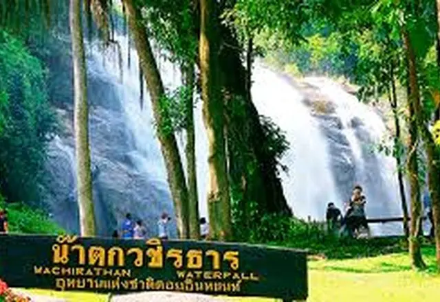 Tourism Directory →
Ministry of Tourism & Sports · Ministry of Tourism & Sports, Thailand 115 min · 78 km - 2
Mae Ya Waterfall
The largest and highest waterfall in Doi Inthanon National Park, and one that has been called the most beautiful in Thailand — a wide fan of water down a long sloped face.
Mae Ya Waterfall (Doi Inthanon National Park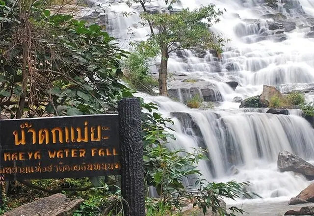 Tourism Directory →
Ministry of Tourism & Sports · Ministry of Tourism & Sports, Thailand 43 min · 28 km - 3
Doi Inthanon National Park
The park around the mountain: evergreen forest low down, pine higher up, mixed forest between. The road runs all the way to the summit, and most of what there is to see — the waterfalls, the pagodas, the trails — is on it.
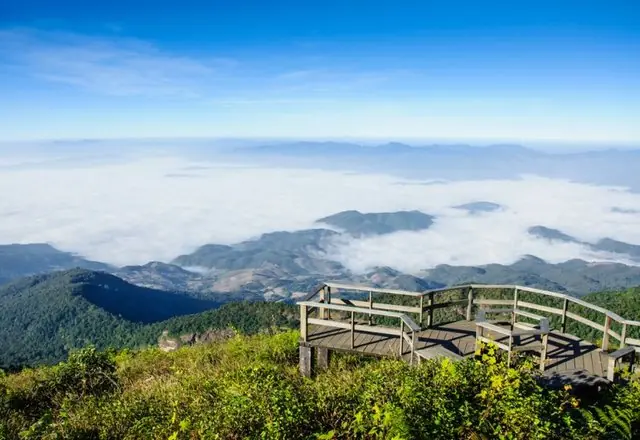 Tourism Directory →
Ministry of Tourism & Sports · Ministry of Tourism & Sports, Thailand 35 min · 25 km - 4
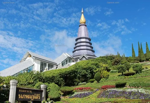
Doi Inthanon summit
The highest point in Thailand at 2,565 metres. It is cold the whole year, and in the cold season mist covers the top for most of the day; at first light the temperature drops far enough for frost to form on the grass, which is the reason half the cars in the car park drove up in the dark.
Tourism Directory →Ministry of Tourism & Sports · Ministry of Tourism & Sports, Thailand 19 min · 17 km - 5
Kiew Mae Pan (Doi Inthanon)
A three-kilometre nature trail along a ridge near the top of Doi Inthanon, running out of forest onto open grassland with the valley falling away on one side. A local guide is required, and the trail closes in the rainy season.
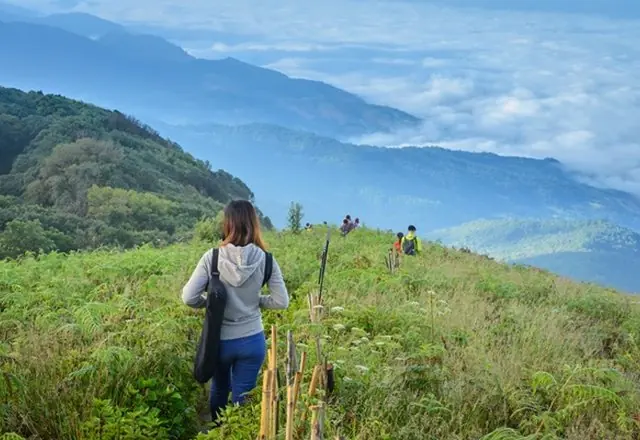 Tourism Directory →
Ministry of Tourism & Sports · Ministry of Tourism & Sports, Thailand 5 min · 5 km - ⌂
Places and facts from the Ministry of Tourism & Sports: thailandtourismdirectory.go.th →