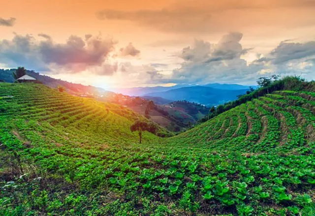
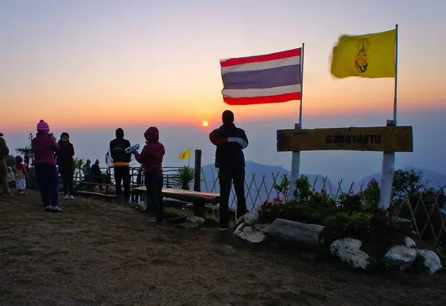
Doi Ang Khang in the cold season
Listed by the Ministry as “Catching mist, teasing the cold-season wind”
The border ridge in cold season, when cloud fills the valley below the farm until the middle of the morning.
This is one of the Ministry of Tourism & Sports' own suggested routes for Chiang Mai. The places are theirs; the order and the distances are ours, because the Ministry files a route as a set of places rather than a sequence and driving it in the order given would take you back and forth across the province. We put the stops in the order you would actually drive them and measured the result.
The Ministry's record also lists Kiew Mae Pan (Doi Inthanon), Doi Inthanon summit, Mon Lan. They are too far from the rest to fit the same day, so they have been left off this route.
The route
In the order you would drive it, with the leg between each.
- 1
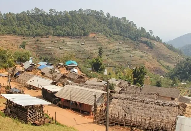
Ban Khob Dong
A village on the Doi Ang Khang ridge where Black Lahu and Red Lahu families live side by side. Weaving and everyday life rather than a set programme.
 Tourism Directory →
Ministry of Tourism & Sports · Ministry of Tourism & Sports, Thailand 172 min · 162 km - 2
Royal Agricultural Station Ang Khang
Started on King Rama IX's instruction to "let them help themselves" — the opium fields on this ridge were turned over to cold-climate crops that could be sold instead. Peaches, roses and vegetables now, at 1,400 metres.
Doi Ang KhangTourism Directory →Ministry of Tourism & Sports · Ministry of Tourism & Sports, Thailand 1 min · 0 km - ⌂
Places and facts from the Ministry of Tourism & Sports: thailandtourismdirectory.go.th →