Eighteen Hundred Curves
The great road trip of northern Thailand — six hundred kilometres through the mountains along the Myanmar border and back.
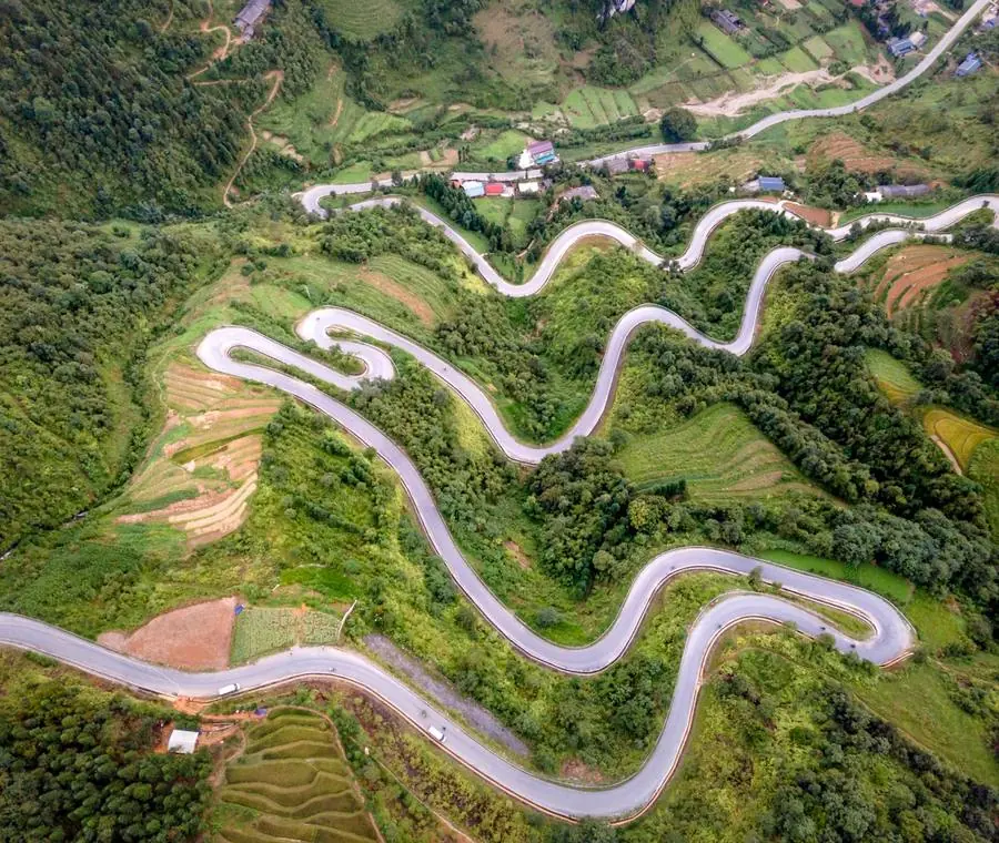
The loop runs north from Chiang Mai to Pai, west to Mae Hong Son on the Myanmar border, south through Khun Yuam to Mae Sariang, and back east to the city. The signs claim one thousand eight hundred and sixty-four curves, and nobody who has driven it doubts the figure. It passes through Shan towns, Karen and Palaung villages, a Yunnanese tea settlement on the border, caves, hot springs and a great deal of forest.
Give it five days. Four is possible and rushed; three means driving all day and seeing the road rather than the country.
The route
Stop by stop, with the drive between each.
- 1
Chiang Mai → Pai
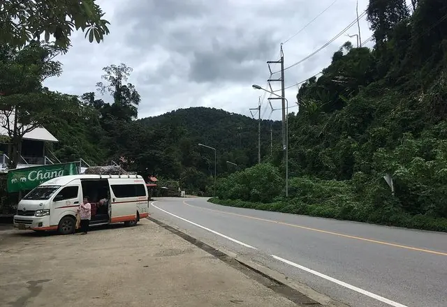
Route 1095 and its seven hundred and sixty curves. See Route 8 for what to stop for. Night 1.
Route 1095: 130-odd kilometres and, famously, 762 bends, climbing over the ridge past Mok Fa waterfall and the Huai Nam Dang viewpoint before dropping into the Pai valley. Three hours of driving that most people plan a stop or two into.
 Wikimedia Commons →
Christophe95 · CC BY-SA 4.0 2h 34m · 129 km - 2
Pai → Tham Lod → Soppong
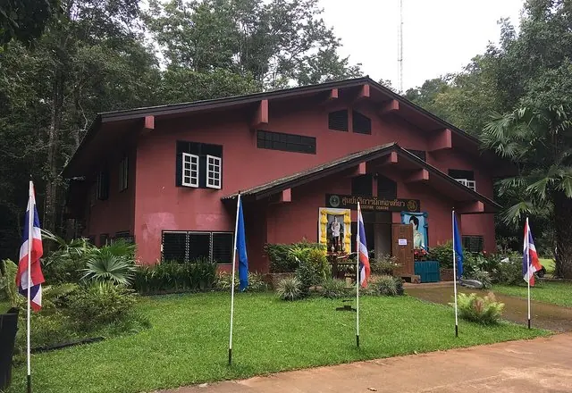
Tham Lod cave is entered by bamboo raft with a guide and a lantern, past teak coffins over a thousand years old on ledges above the water. At dusk, several hundred thousand swifts pour into the cave mouth.
The road west from Pai climbs over the ridge to Soppong, and a side road leads to Tham Lod, a cave the Nam Lang river runs straight through. Local guides take you in by lantern and a bamboo raft floats you out; at dusk hundreds of thousands of swifts pour into the far entrance.
 Wikipedia →
Christophe95 · CC BY-SA 4.0 53 min · 48 km - 3
Ban Ja Bo
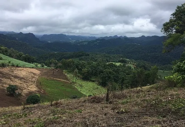
A Lahu village strung along a ridge above the Lang valley, best known for a noodle shop where you sit with your legs over the edge and eat looking at the mountains. Twenty minutes off nothing, and the stop people remember from this stretch.
A Lahu village on the ridge above the Pai–Soppong road, known far beyond its size for the noodle shop whose bench seats hang out over the valley. Come in the morning while the cloud is still below you; the village itself is small and working, not a display.
 Wikimedia Commons →
Stand-in photo: the Pang Mapha ridges the village looks out over · Christophe95 · CC BY-SA 4.0 26 min · 23 km - 4
Mae Hong Son town
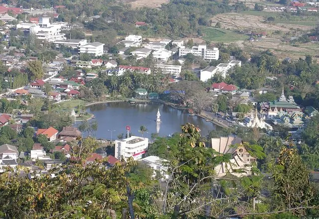
Wat Chong Kham and Wat Chong Klang stand together on the edge of Nong Jong Kham lake and reflect in it at night. Wat Phra That Doi Kong Mu on the hill above is the sunset spot. Nights 2–3.
A valley town ringed by hills, with a lake at its centre and two Burmese-style temples on its bank, Wat Chong Kham and Wat Chong Klang. The morning market, the hilltop Wat Phra That Doi Kong Mu and the mist that fills the valley until mid-morning are why people stay a night rather than pass through.
 Wikipedia →
Vyacheslav Argenberg · CC BY 2.0 1h 02m · 59 km - 5
Ban Rak Thai
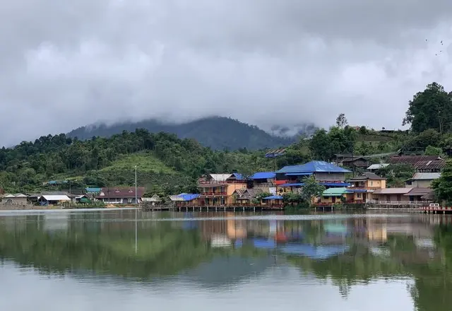
A Yunnanese tea village around a small lake at the border, with clay houses and tea served on the terraces. Cold in the morning, and worth the detour more than anything else on the loop.
A Yunnanese Chinese village in the hills near the Burmese border, founded by soldiers who left China after 1949. It sits around a small lake, grows tea on the slopes behind, and is cool the whole year.
 Tourism Directory →
Ministry of Tourism & Sports · Ministry of Tourism & Sports, Thailand 55 min · 44 km - 6
Su Tong Pae bamboo bridge
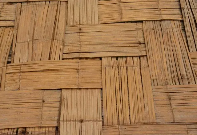
A long bamboo walkway built by villagers across the rice fields to the monastery. Best at dawn when the monks cross it.
A footbridge of woven bamboo half a kilometre long, laid across the rice fields so that the monks of the hilltop temple can reach the village for the morning alms round. The villagers built it; walk it early and you will see it used as intended.
 Flickr →
paularps · CC BY 2.0 50 min · 35 km - 7
Khun Yuam
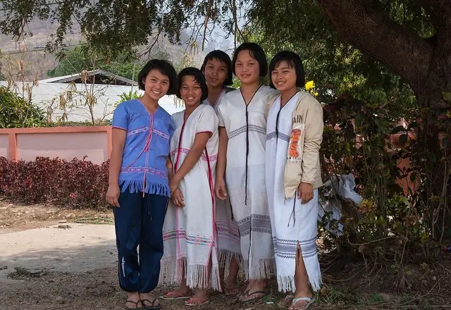
A small town with a museum of Japanese WWII remains, left when the retreating army came through. Mae Surin waterfall — one of Thailand's highest — is signposted nearby. Night 4.
A small town midway round the Mae Hong Son loop, known for the museum of the Japanese army's retreat from Burma in 1945, when the townspeople took in the sick and wounded. In November the Mexican sunflowers at Doi Mae U-Kho nearby turn whole hillsides yellow.
 Wikimedia Commons →
Takeaway · CC BY-SA 4.0 1h 33m · 97 km - 8
Mae Sariang
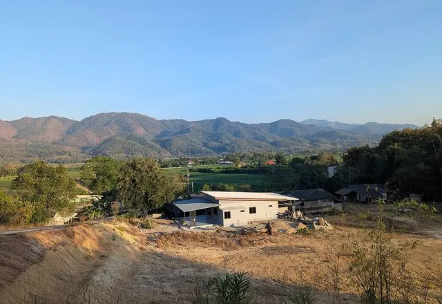
A quiet riverside town of teak buildings, the least visited stop on the loop and the one people remember. Night 5.
A small riverside town at the south-west corner of the Mae Hong Son loop, on the Yuam river, with Burmese-style temples, an unhurried main street and good noodles. Most people sleep here to break the long southern leg of the loop.
 Wikimedia Commons →
Angkun-ane · CC BY-SA 4.0 1h 56m · 104 km - 9
Mae Sariang → Chiang Mai
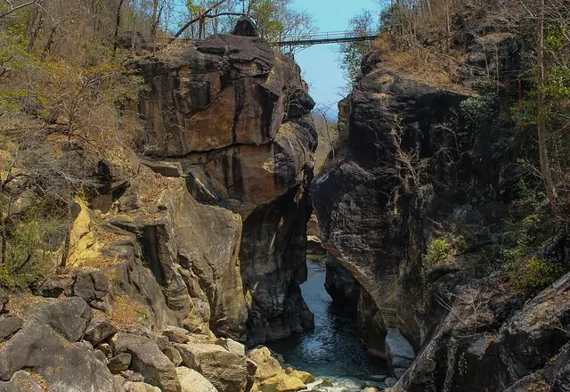
Route 108 through the Ob Luang gorge, with a possible last stop at Doi Inthanon if you have the energy.
 Wikimedia Commons →
Ob Luang gorge, on this stretch of Route 108 · Ditsakul · CC BY-SA 3.0


Best time to go
November to February: cool, clear, mist in the valleys at dawn, and the whole point of doing it. The green season brings landslides and closures on 1095 and 108 — check road conditions before committing. Burning season fills the valleys with smoke; Mae Hong Son province is among the worst affected in the country.
Before you set off
This is a serious multi-day drive, not a day trip stretched out. Fuel at every town — the gaps between stations are long. Book accommodation ahead in the cool season, particularly Pai and Ban Rak Thai. Carry your passport; you will pass army checkpoints near the border and may be asked for it. Never drive these roads after dark. If you are riding, be honest about your experience: this loop is where over-confident riders get hurt, and a small hospital four hours from Chiang Mai is not where you want to test that.
Places on this route were suggested by Kapook Travel — villages worth slowing down for. Distances and drive times are our own, measured stop by stop.