The Steep Road To The Border
Cherry blossom in January, Yunnanese villages on the ridge, and one of the hardest climbs in the north.
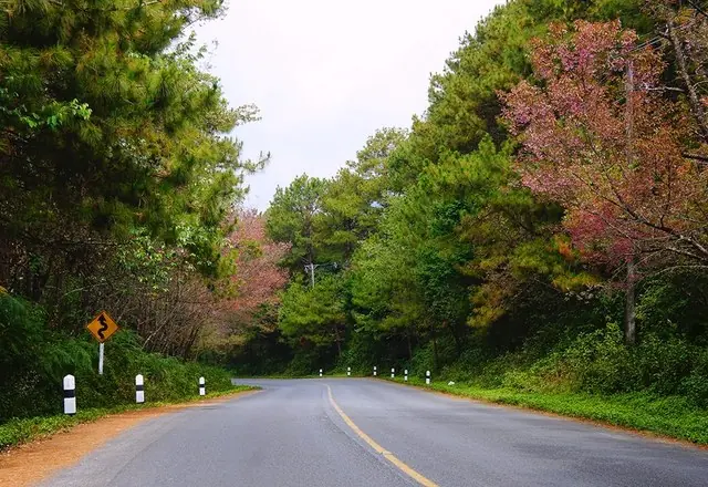
Doi Ang Khang sits on the Myanmar border, and the royal agricultural station on top is the reason there is a road at all — it was established to give hill communities an alternative to growing opium, and the terraces now produce temperate fruit, vegetables and flowers that grow nowhere else in Thailand. In January the wild Himalayan cherry flowers along the ridge and the whole mountain turns pink.
Route 1249 up from Route 107 is short and brutally steep. Take it seriously.
The route
Stop by stop, with the drive between each.
- 1
Fang hot springs
1 hr · small fee — On Route 107 before the turn, a good stop to break the drive north.
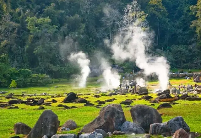
Groundwater running through rock heated by magma below, forced back up through cracks in granite under great pressure. It surfaces between 80 and 100°C, and some vents throw water well above head height.
Tourism Directory →Ministry of Tourism & Sports · Ministry of Tourism & Sports, Thailand 2h 50m · 159 km - 2
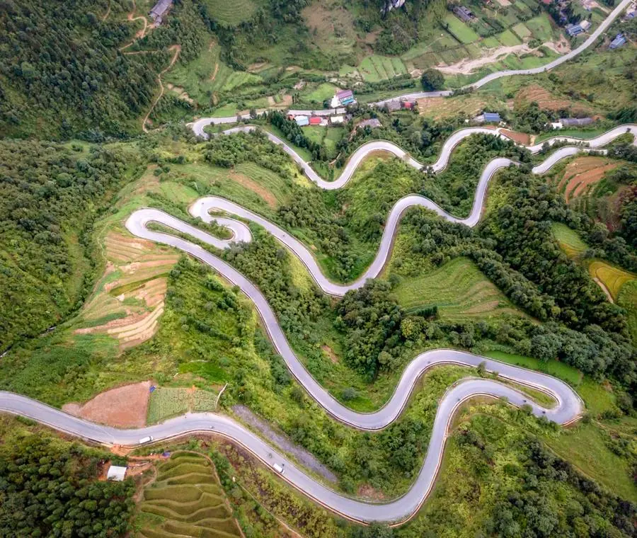
The 1249 climb
Continuous steep switchbacks. Low gear, no coasting, and stop if the temperature gauge moves.
Doi Ang Khang is a mountain in Fang District, Chiang Mai Province, Thailand. It is part of the Daen Lao Range that straddles both sides of the Burmese-Thai border. Wikipedia
 Wikipedia →
Ministry of Tourism & Sports · Ministry of Tourism & Sports, Thailand - 3
Royal Agricultural Station Ang Khang
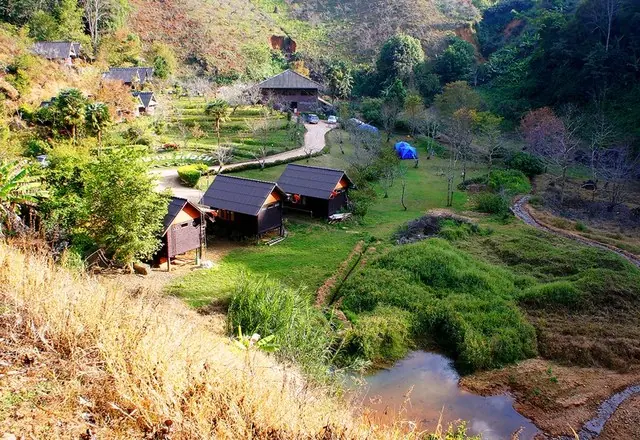
Terraced gardens, bonsai, temperate orchards and a working research farm. The accommodation on site is the easiest place to stay on the mountain.
Started on King Rama IX's instruction to "let them help themselves" — the opium fields on this ridge were turned over to cold-climate crops that could be sold instead. Peaches, roses and vegetables now, at 1,400 metres.
 Tourism Directory →
Ministry of Tourism & Sports · Ministry of Tourism & Sports, Thailand 58 min · 47 km - 4
Ban Nor Lae
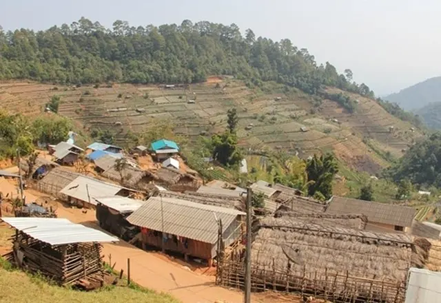
A Palaung village right on the border ridge, looking straight into Myanmar. There is a small market and a Thai army post; the view along the frontier is the reason to come.
A Palaung village on the Ang Khang ridge hard against the Myanmar border, with an army post and a lookout over the valley on the far side. The women's red skirts and silver waist hoops are still everyday dress here, not costume.
 Tourism Directory →
Stand-in photo: a hill village on the Ang Khang ridge, from the Ministry's record · Ministry of Tourism & Sports · Ministry of Tourism & Sports, Thailand 11 min · 7 km - 5
Ban Khob Dong & the strawberry farms
Yunnanese settlements growing strawberries and tea on the slopes, with tea houses along the road.
A Lahu village on the Ang Khang plateau where the Royal Project's strawberry terraces begin. In the cold season the fields are picked every morning and sold at the roadside, and the village keeps its stilt houses and a small wooden church.
 Tourism Directory →
Ministry of Tourism & Sports · Ministry of Tourism & Sports, Thailand 13 min · 9 km - 6
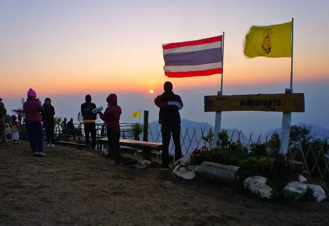
Sunrise at the ridge viewpoints
The reason to stay overnight. Cloud fills the valleys below the ridge and the border mountains stand out of it.
Doi Ang Khang is a mountain in Fang District, Chiang Mai Province, Thailand. It is part of the Daen Lao Range that straddles both sides of the Burmese-Thai border. Wikipedia
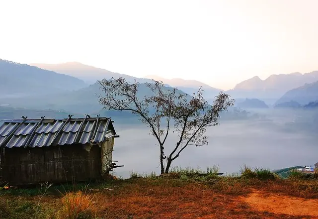 Wikipedia →
Ministry of Tourism & Sports · Ministry of Tourism & Sports, Thailand
Best time to go
December and January: cold, clear, and cherry blossom along the ridge. This is the only route in the collection where the cool season is not merely preferable but the entire point. The green season makes 1249 genuinely hazardous — landslides and standing water on extreme gradients. Avoid it then.
Before you set off
This is the steepest sealed road in the collection. Check your brakes before starting and use engine braking throughout the descent; brake fade on 1249 is a real risk, not a theoretical one. Temperatures drop near freezing overnight in December. Accommodation on the mountain is limited and books out months ahead for the blossom. You are on a national border — carry your passport, and expect a military checkpoint. Do not photograph the army post.