The Roof Of Thailand
The country's highest peak, two royal pagodas above the cloud, waterfalls at every turning, and Karen villages growing coffee on the terraces.
The summit of Doi Inthanon is not a viewpoint — it is a flat, cold, cloud-soaked patch of moss forest with a marker and a shrine, and the view is somewhere below you. What makes the mountain worth a full day is everything on the way up: waterfalls you can hear before you see, terraced rice fields worked by Karen families, coffee grown at fifteen hundred metres and roasted at the roadside, and two pagodas on a ridge that on the right morning stand above an unbroken floor of cloud.
Start early. The cloud burns off by mid-morning and the summit is at its best cold and empty.
The route
Stop by stop, with the drive between each.
- 1
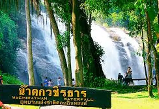
Wachirathan Waterfall
A wide curtain of water dropping into a pool, with spray you feel from the viewing platform fifty metres back. The most dramatic of the park's falls.
One drop of about seventy metres, fed by the Mae Klang stream from the top of Doi Inthanon. The volume is heavy enough that the spray reaches the viewing platform and hangs a rainbow across it in the afternoon.
 Tourism Directory →
Ministry of Tourism & Sports · Ministry of Tourism & Sports, Thailand 1h 55m · 78 km - 2
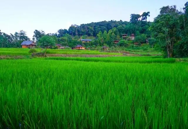
Ban Mae Klang Luang
A Karen village of terraced rice fields and small coffee houses looking down the valley. In November the terraces are gold; after the harvest they mirror the sky. The coffee is grown within sight of where it is served.
A Karen village on the lower slopes of Doi Inthanon, set among terraced rice fields in a valley. Coffee is grown on the slopes above and served in huts at the edge of the fields.
 Tourism Directory →
Ministry of Tourism & Sports · Ministry of Tourism & Sports, Thailand 10 min · 8 km - 3
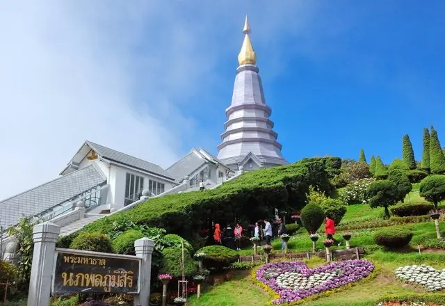
The Twin Royal Pagodas
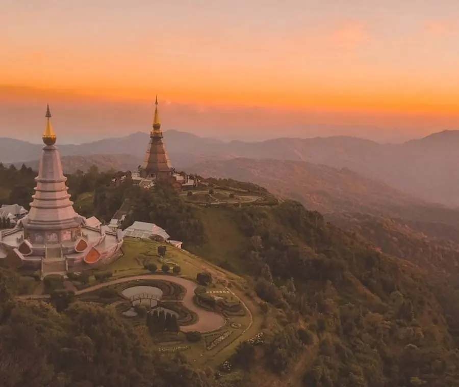
Two pagodas on the ridge, built for the King and Queen, with terraced gardens between them. On a clear cold morning the cloud sits below the terrace edge.
Phra Mahathat Naphamethanidon and Naphaphonphumisiri, two chedis built near the summit of Doi Inthanon for the sixtieth birthdays of King Bhumibol and Queen Sirikit. Terraced gardens between them, and on a clear morning the ridges run out in every direction.
 Tourism Directory →
Ministry of Tourism & Sports · Ministry of Tourism & Sports, Thailand 18 min · 16 km - 4
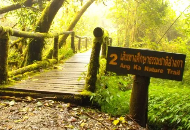
The Summit & Ang Ka Nature Trail
A short boardwalk looping through cloud forest — moss, sphagnum bog, twisted trees — at the highest point in the country. Cold, damp and unlike anywhere else in Thailand.
Ang Ka Luang, on the top of Doi Inthanon at 2,565 metres: cloud forest that stands in moving cloud most of the day. The air holds so much water that the trees are furred to the branch tips with moss and ferns. A boardwalk keeps you off the peat.
 Tourism Directory →
Ministry of Tourism & Sports · Ministry of Tourism & Sports, Thailand 6 min · 5 km - 5
Siriphum Waterfall & the Royal Project
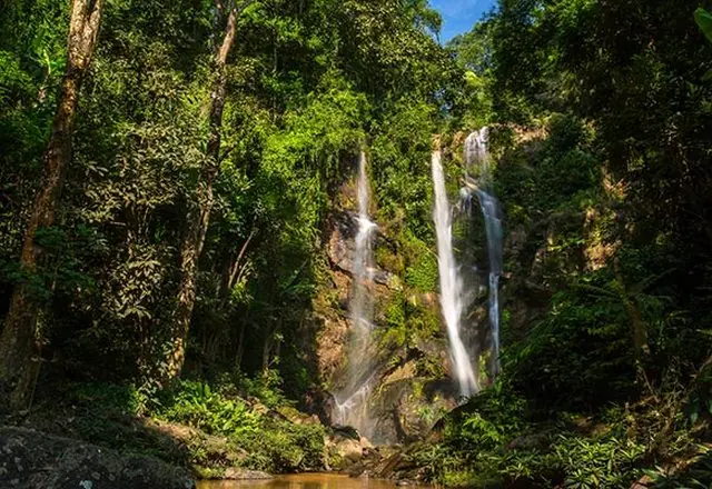
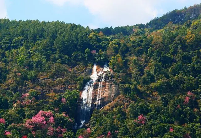
A tall twin fall behind the agricultural station's flower terraces.
Two falls side by side down a long steep face, with a Royal Project flower garden laid out at the foot of them. Renamed for King Bhumibol and Queen Sirikit; the Hmong village below gave it its older name, Lao Lu.
 Tourism Directory →
Ministry of Tourism & Sports · Ministry of Tourism & Sports, Thailand 21 min · 18 km - 6
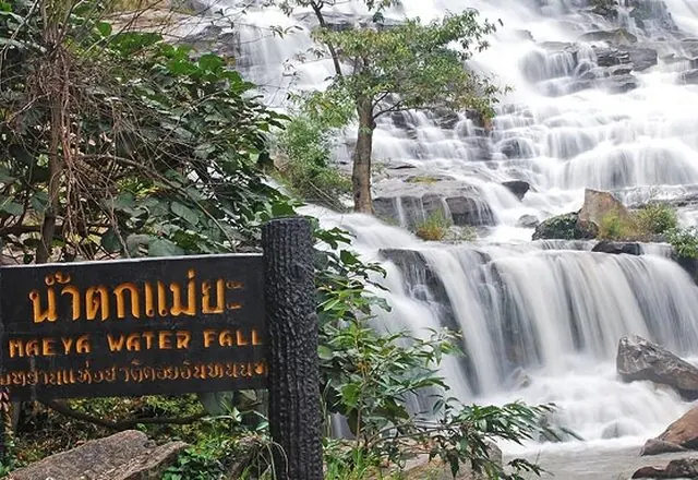
Mae Ya Waterfall
A broad tiered fall on the way back down, further from the main road and much quieter than the rest.
The largest and highest waterfall in Doi Inthanon National Park, and one that has been called the most beautiful in Thailand — a wide fan of water down a long sloped face.
 Tourism Directory →
Ministry of Tourism & Sports · Ministry of Tourism & Sports, Thailand 38 min · 27 km
Best time to go
November to February for clear cold mornings, with December and January cold enough for frost at the summit. February to April is the agricultural burning season, when haze often removes the view entirely — the mountain is still worth climbing but do not expect the panorama. The green season brings powerful waterfalls and near-permanent cloud at the top.
Before you set off
National park entry is charged per person and per vehicle, at a higher rate for non-residents; bring cash. Use low gear on the descent rather than riding the brakes. The summit can be near freezing while the city is over thirty degrees — bring a jacket, and a second one in December. Fill the tank in Chom Thong; mountain stations are sparse. Avoid driving the descent after dark.