The Long Way Round Inthanon
The other side of Thailand's highest mountain — a relic temple, four waterfalls, Karen rice terraces at a thousand metres, and the gorge road home.
Almost everyone who drives to Doi Inthanon goes up the front, sees the summit and comes back the same way. This is the other version: around the mountain rather than over it, through Mae Chaem and back along the Ob Luang gorge, and it takes two days because six hours of mountain driving does not fit into one.
The stops are why. Si Chom Thong holds a relic that is washed in ceremony rather than sealed away; Mae Ya drops thirty tiers over more than two hundred and sixty metres; Pha Dok Siew is reached on a two-and-a-half-kilometre trail that a Karen guide walks with you; and Mae Klang Luang is terraced rice at a thousand metres, gold in November.
Stay in Mae Chaem. It is a small valley town with almost no visitors and that is exactly its appeal.
The route
Stop by stop, with the drive between each.
- 1
Wat Phra That Si Chom Thong
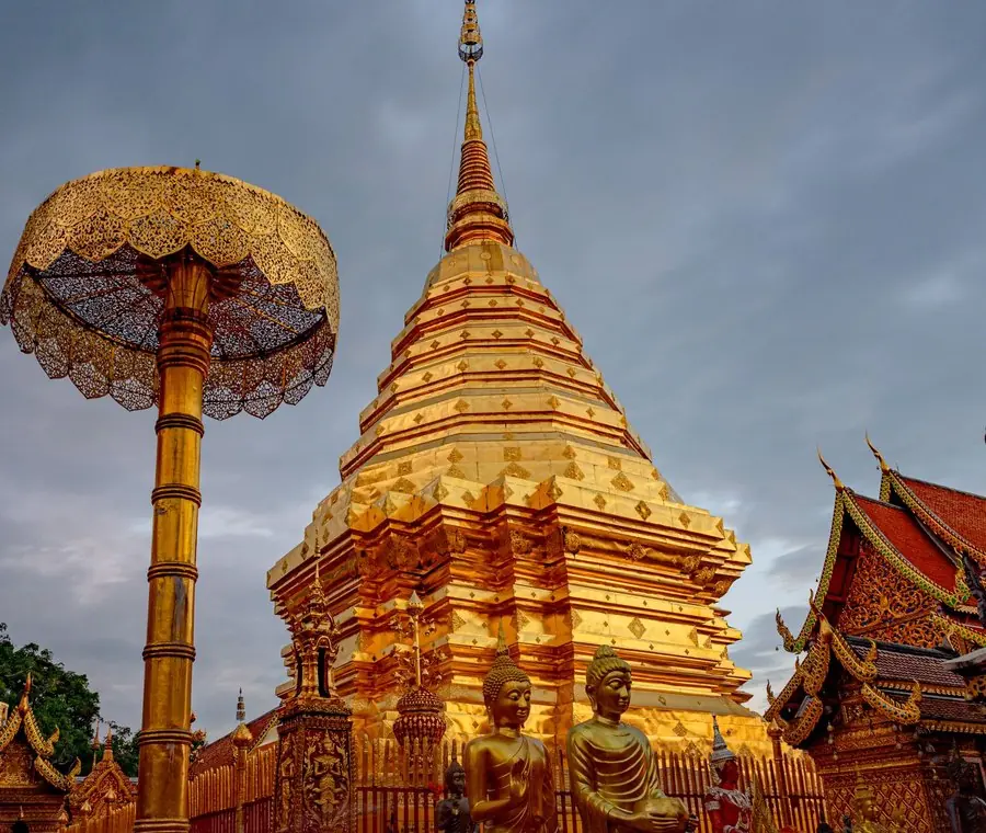
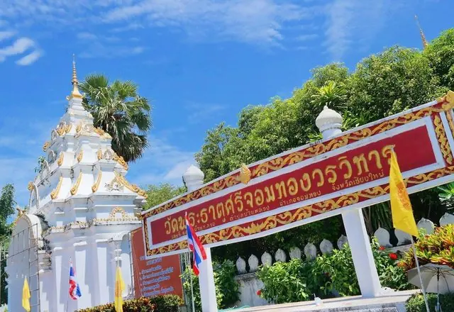
A fifteenth-century royal temple at the foot of the mountain, holding a relic that is not enclosed in the chedi but kept in a reliquary inside the viharn and bathed in a public ceremony. The zodiac temple for those born in the year of the rat. Open 8am to 5pm.
The temple of Chom Thong, held in respect across the whole north. It is known for the Hae Mai Kham Pho, the Lanna custom of carrying poles in procession to prop up the bodhi tree — a way of saying you are holding up the religion yourself.
Tourism Directory →Ministry of Tourism & Sports · Ministry of Tourism & Sports, Thailand 1h 30m · 59 km - 2
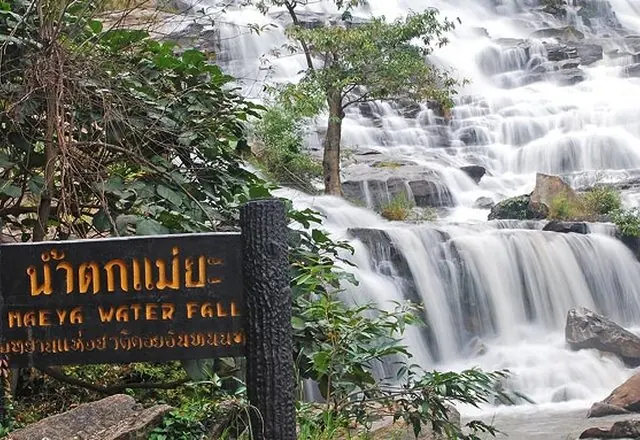
Mae Ya Waterfall
Thirty tiers spread over two hundred and sixty metres of hillside, and often called the most beautiful waterfall in the country. In the wet season the water spreads a hundred metres wide. Short walk from the car park. Open 8am to 6pm.
The largest and highest waterfall in Doi Inthanon National Park, and one that has been called the most beautiful in Thailand — a wide fan of water down a long sloped face.
 Tourism Directory →
Ministry of Tourism & Sports · Ministry of Tourism & Sports, Thailand 24 min · 14 km - 3
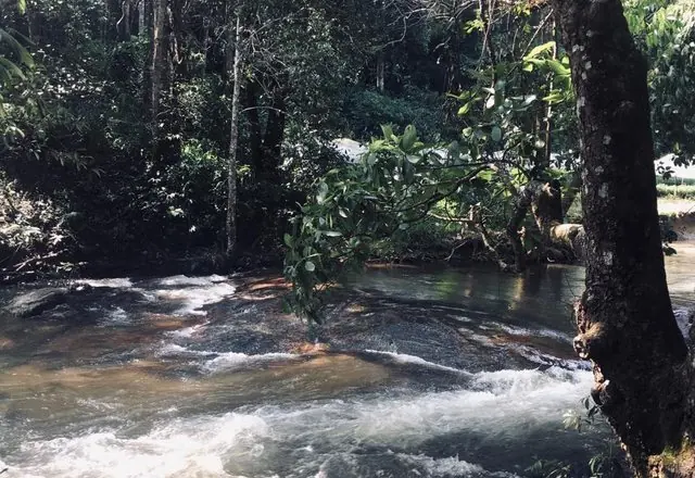
Pha Dok Siew Waterfall
Ten tiers reached on a 2.6 km trail through Karen farmland and forest, roughly two hours on foot, walked with a village guide. The film Rak Chang was shot here, which is why Thai visitors know the name. Night in Mae Chaem.
Ten tiers hidden in thick forest, named for the *siew* tree that grows there. Tiers six to ten are the ones worth reaching, and it is about a kilometre on foot from the park office — Karen guides from Mae Klang Luang walk it with visitors.
 Tourism Directory →
Ministry of Tourism & Sports · Ministry of Tourism & Sports, Thailand 36 min · 26 km - 4
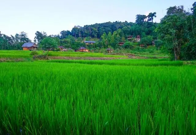
Ban Mae Klang Luang
A Karen village of terraced rice at just over a thousand metres, with homestays, small coffee houses and a view straight down the valley. Gold in November before the harvest, mirror-flat and full of sky after it. Open 9am to 5pm for the visitor facilities; the village itself is a village.
A Karen village on the lower slopes of Doi Inthanon, set among terraced rice fields in a valley. Coffee is grown on the slopes above and served in huts at the edge of the fields.
 Tourism Directory →
Ministry of Tourism & Sports · Ministry of Tourism & Sports, Thailand 4 min · 3 km - 5
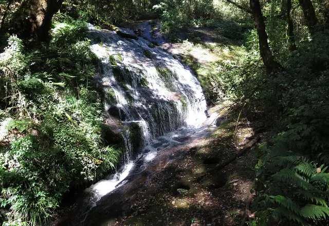
Mae Pan Waterfall
The longest waterfall in the province, four tiers over more than a hundred metres, on a short 400-metre trail. One of eight falls in the Mae Pan group and the only one most people see. Open 8am to 6pm.
On the Mae Chaem side of the Doi Inthanon massif, a tall fall in several drops reached by a short forest walk; full in the rains, thin by April. Not the Kew Mae Pan trail, which is a ridge walk higher up, though they share the name.
 Wikimedia Commons →
Stand-in photo: the waterfall on the Kew Mae Pan trail, on the same stream higher up · Douglas Perkins · CC BY 4.0 24 min · 21 km - 6
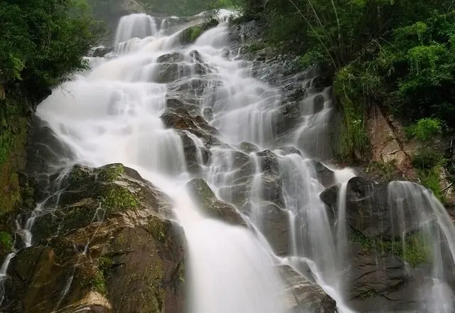
Mae Tia Waterfall
The highest fall in Ob Luang national park: four tiers, a hundred metres, forty wide, with a viewpoint and a camping ground. The gorge road runs past it, and this is the last stop before the fast run home on the 108. Open 8.30am to 4.30pm.
The best of the waterfalls inside Ob Luang National Park.
 Tourism Directory →
Ministry of Tourism & Sports · Ministry of Tourism & Sports, Thailand 1h 16m · 60 km

Best time to go
November to January: the terraces are at their best, the air is clear and the waterfalls still carry water from the wet season. February to April is burning season and the valleys fill with smoke — this is the worst route in the province for it. The green season is spectacular and the Mae Chaem road is genuinely dangerous in heavy rain.
Before you set off
Two nights is better than one. The road between Mae Chaem and the Inthanon side is steep with tight switchbacks and long drops; use low gear both ways and do not drive it after dark. National park entry is charged per person and per vehicle at Mae Ya, Mae Pan and Mae Tia separately — carry plenty of cash. The Pha Dok Siew trail needs a guide from the village and takes two hours; do not attempt it alone or in the rain. Fuel in Chom Thong and again in Mae Chaem. Phone signal is patchy for most of the second day.
Places on this route were suggested by Wongnai — temples to visit in Chiang Mai · TrueID Travel — waterfalls of Chiang Mai · Kapook Travel — villages worth slowing down for. Distances and drive times are our own, measured stop by stop.