Where The Signal Stops
A forest village with no phone reception and a Lisu hamlet with the best view of Doi Luang Chiang Dao there is.
Chiang Dao district is what people mean when they say northern Thailand has not changed. Ban Mae Mae is a forest settlement where the accommodation is built out of what grows there, the air is cold by seven in the evening and there is no phone signal at all — which is either the appeal or the problem, and the village is honest about that. Ban Na Lao Mai is a Lisu hamlet higher up, and the reason to climb to it is that Doi Luang Chiang Dao, the third-highest mountain in the country, stands directly in front of you with nothing in between.
Stay a night. Doing this as a day trip means four and a half hours of driving to see a view in the middle of the day, which is the one time it is not worth seeing.
The route
Stop by stop, with the drive between each.
- 1
Ban Mae Mae
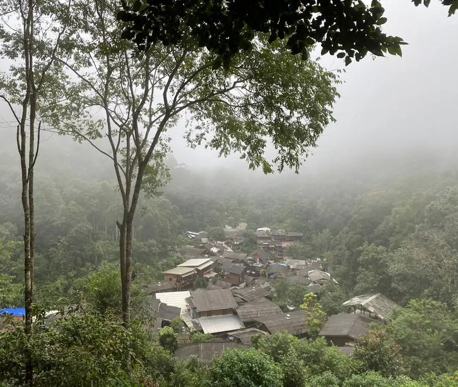
A forest village off Route 107 with homestays and treehouse cabins built from bamboo and timber, meals cooked from what the valley grows, and no mobile coverage. Cold enough at night from November to February to need a blanket. Night here.
A farming hamlet in the Mae Mae valley on the northern side of Doi Chiang Dao, where the road narrows and the forest closes in. It is the quiet side of the mountain: a few guesthouses among the fields, birdsong, and the limestone wall of the peak above.
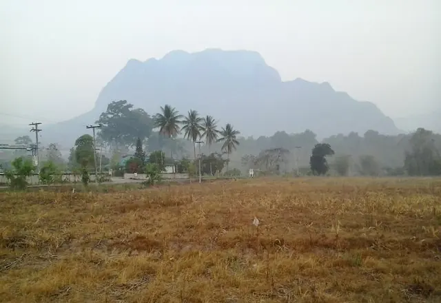
Wikimedia Commons →Stand-in photo: Doi Luang Chiang Dao, which the village sits beneath · lopsura · CC BY 3.0 1h 33m · 75 km - 2
Na Lao viewpoint (Ban Na Lao Mai)
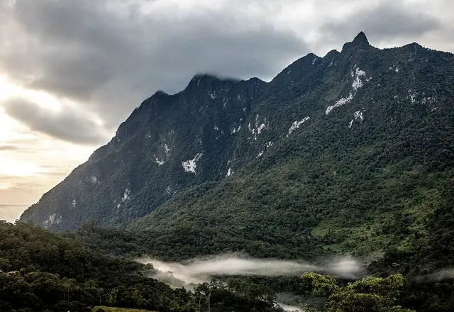
A Lisu village on the ridge with a viewpoint looking straight across at Doi Luang Chiang Dao. First light is the whole point: the valley below fills with mist and the limestone wall stands clear above it. The final climb is a narrow track — check it before committing a car to it.
A lookout on the hill road near Ban Na Lao with the limestone wall of Doi Luang Chiang Dao, Thailand's third-highest mountain, filling the view. Early morning, with mist in the valley below, is when it earns the detour.
 Wikipedia →
Supanut Arunoprayote · CC BY 4.0 44 min · 32 km

Best time to go
November to February, without qualification. Cold clear mornings, mist in the valley at dawn, and the mountain visible. February to April the haze removes the view entirely and there is no reason to make the drive. The green season is beautiful and the final track to the viewpoint becomes a genuinely bad idea.
Before you set off
Book the village stay ahead; there are few beds and no way to phone from the village once you are there. Tell someone your plan, because you will be uncontactable overnight. Carry cash — there is no card payment and the nearest ATM is in Chiang Dao town. Drive the viewpoint track in daylight only, and walk the last stretch rather than risk it if the surface looks wrong. These are homes, not attractions: ask before photographing anyone.
Places on this route were suggested by Kapook Travel — villages worth slowing down for. Distances and drive times are our own, measured stop by stop.